Stay
All Rooms
Standard Rooms
Superior Rooms
Deluxe Rooms
Accessible Rooms
Group Bookings
Gift Cards & Vouchers
Play
Activities for Everyone
Kids Club
Birthday Parties
Ice Skating
Pamper Parlour
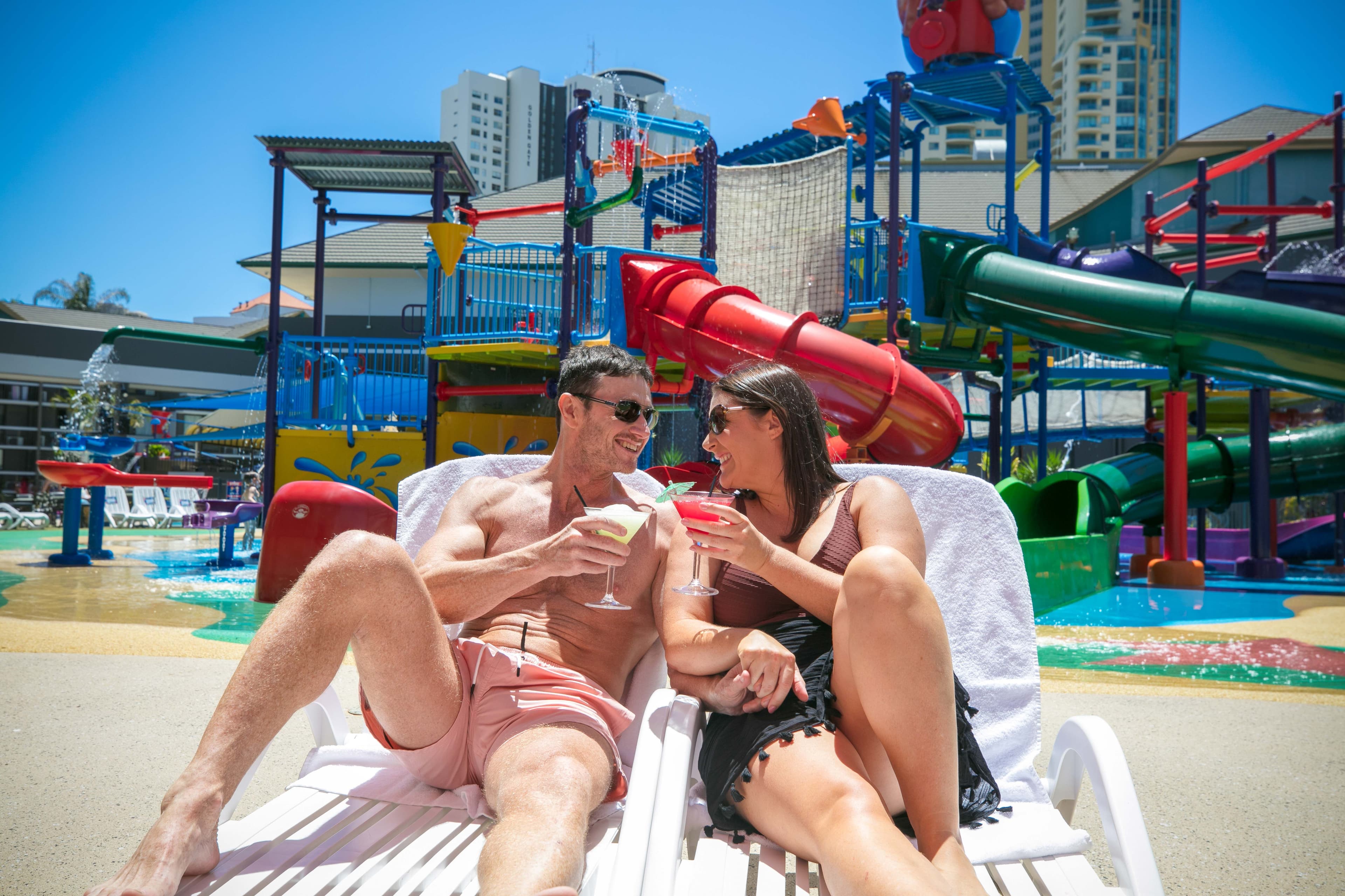
Waterparks, Pool, Spa
For Parents
Eat
All Dining
Penguins Restaurant
Christmas Day 2026
Plan
Plan your Stay
FAQ's
Resort Tour
Getting Around
Theme Park Tickets & Transfers
Special Offers
All Offers
Winter Deals
Theme Park Deals
About
Our Story
Environmental Impact
Job Offers
Collaborate With Us
Contact Us
Lost Property
Blog